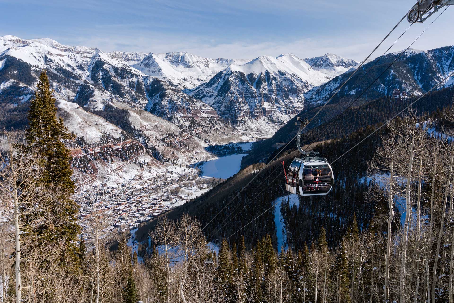
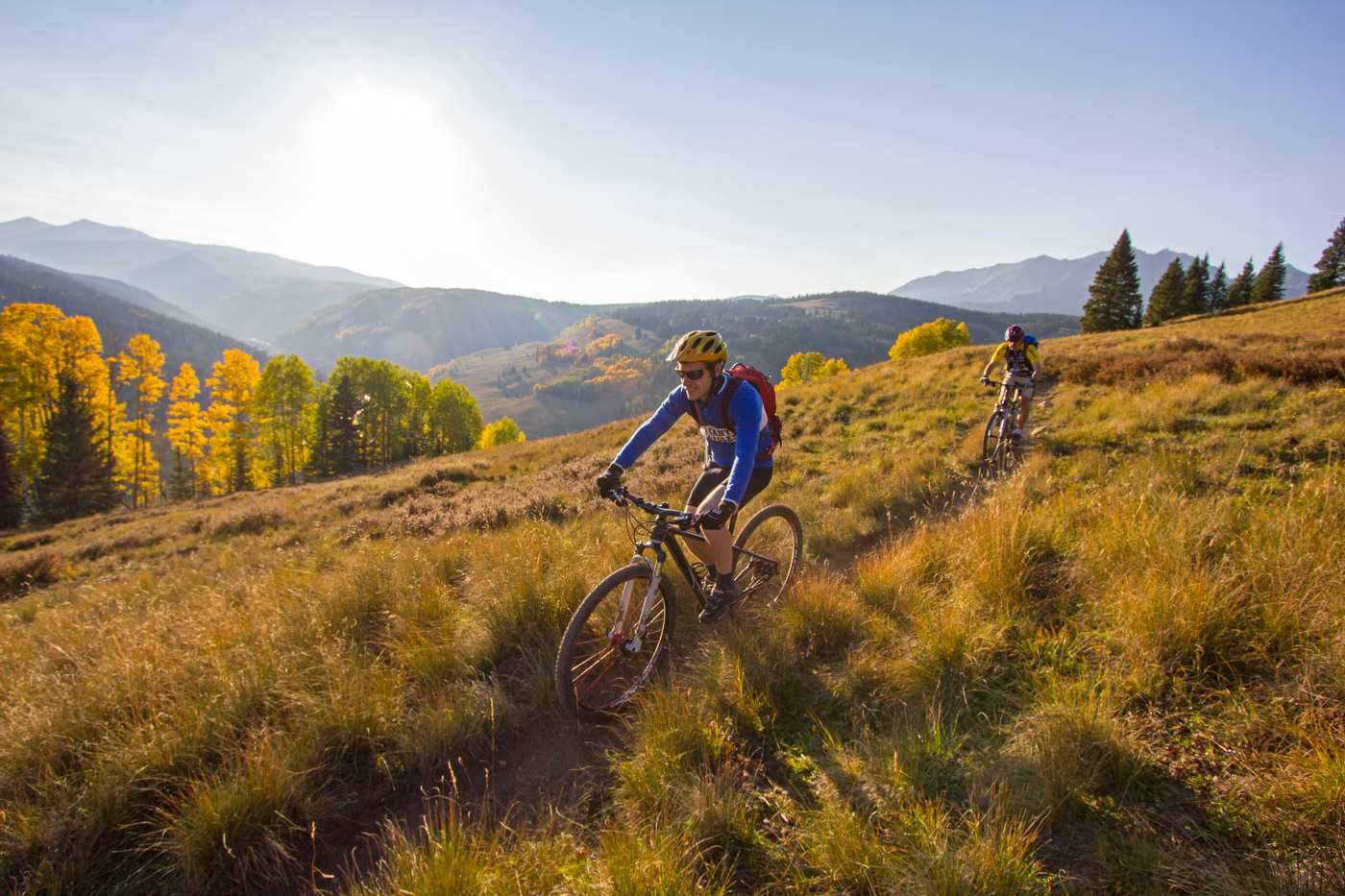
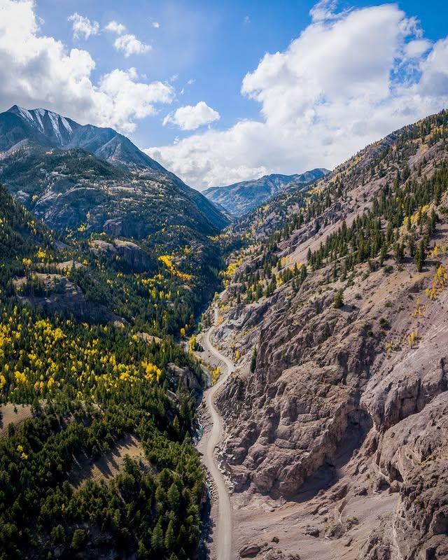
Telluride Mountain Bike Trails, a fun and exciting way to explore the mountain. Whether you’re an avid cyclist seeking a thrilling adventure or you’re a family looking for some affordable recreation, Telluride has trails for riders of every age and experience level. Many visitors are pleased to discover that variety is the spice of life when it comes to outdoor activities on the mountain. Biking local trails is a great way to explore the unseen and take in the natural beauty that surrounds our tiny town. From leisurely trails that wind through meadows to steep rides that bring you to hidden waterfalls, Telluride has it all!
If you’re looking for the perfect Telluride mountain bike trails to explore during your stay, check out these popular rides:
East Fork Bear Creek Trail
Distance: 1.2 Miles
Difficulty: Hard
Elevation: ~10,800 – 12,000
It’s the shortest trail on our list, but don’t let the distance fool you. Elevation is a factor during this ride; while there is no major changes, a slight incline during your ride will make this a tough challenge. Where East Fork Bear Creek really gets intense is the steep inclines/declines, with grades reaching almost 50% at times! Small but mighty, this trail is just over one mile of pure adrenaline.
Kave Trail
Distance 1.3 Miles
Difficulty: Very Hard
Elevation: ~8,800 – 9,500
The Kave Trail is a fun detour along Boomerang Road and a great addition to add some mileage to your route. The short trail features a slow and steady upward climb followed by a fast downhill ride that requires expert navigation. The path also features several tricky switchbacks, so a high degree of technical manipulation is required.
Meadows Trail
Distance: 1.4 Miles
Difficulty: Easy
Elevation: ~8,650 – 9,100
A quick ride close to town, Meadows Trail connects Mountain Village to Lawson Hill through a short and scenic trail. The first half of the ride is a bit secluded, as it takes riders through the woods along the edge of Mountain Village, but it quickly opens up to a busier residential area. Meadows Trail is great for riders of any age or experience level!
No-Brainer
Distance: 1.4 Miles
Difficulty: Medium
Elevation: ~9,500 – 10,500
As the name suggests, this trail is a ‘no brainer’ for many riders in the area. Short and sweet, this trail connects to See Forever/Wasatch Connection and is a great add-on for riders looking for a fun change of pace. This trail features tons of twists and turns with no steep elevation changes. Overall, this is just a fun downhill trail for riders of any age!
Sunshine Trail AKA T35
Distance: 1.7 Miles
Difficulty: Medium
Elevation: ~8,500 – 9,500
Bikers seeking a quick adventure will appreciate the smooth ride along the Sunshine Trail. The narrow track rips through the mountain landscape at a thrilling pace with no tricky switchbacks or crazy elevation changes to get in the way. This trail is a little remote, though it does easily connect to other area trails to get you back to Telluride.
Wasatch Connection – Telluride Mountain Bike Trails
Distance 1.7 Miles
Difficulty: Hard
Elevation: ~11,500 – 12,100
A short portion of the full See Forever/Wasatch Connection route, this trail cuts across the Revelation Bowl and then drops riders directly into Bear Creek via steep and narrow switchbacks. This scenic descent is considered one of the more enjoyable points along the full ride.
Wasatch Trail #508
Distance: 4.4 Miles
Difficulty: Very Hard
Elevation: ~9,600 – 13,000
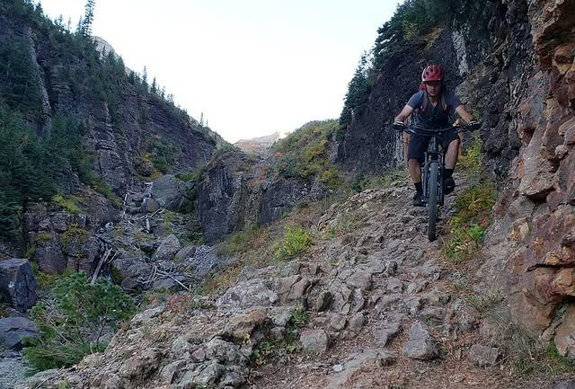
A short but mighty ride, the Wasatch trail makes riders work for the views. This quick path connects the town of Telluride to the Wasatch Saddle and is one of the most scenic rides in the area. The trail hugs Bear Creek and winds right by a beautiful waterfall, which is a popular spot for hikers. Bike riders often continue down the trail around the Bear Creek drainage and up to the crest of the San Joaquin Ridge.
Boulder Gulch Trail
Distance: 5.5 Miles
Difficulty: Hard
Elevation: ~9,500 – 13,000
A rugged, remote trail, Boulder Gulch is ideal for adrenaline junkies seeking a challenge. The ride passes through scenic wildflower meadows and natural rock formations that can’t be seen from anywhere else on the mountain. However, the trail features steep elevation changes and rough trails. This, combined with the remote location makes this trail best suited for experts or groups.
Mill Creek/Waterline Ride
Distance: 7.4 Miles
Difficulty: Medium
Elevation: ~8,700 – 9,600
This short, playful trail takes riders directly through downtown Telluride. A quick loop with limited elevation change, the Mill Creek/Waterline route features several different surfaces to keep things interesting—paved roads, dirt trails, and single-track. This is a great option for guests staying near the city center or for riders that want to explore downtown.
Prospect #413
Distance: 8.4 Miles
Difficulty: Medium
Elevation: ~9,500 – 10,950
Almost a complete loop, Prospect #413 is a fast-paced, high elevation ride. At just under 10 miles with no crazy inclines or switchbacks, the route is ideal for families and amateur riders. The first half of the ride is a slow and steady climb followed by an exciting ride back down. The trail also loops through Mountain Village, which makes the perfect pitstop.
See Forever/Wasatch Connection
Distance: 8.5 Miles
Difficulty: Very Hard
Elevation: ~ 8,775 – 12,125
This exciting ride gives adventurers way more downhill ride than they earn—but don’t let that fool you. Classified as a ‘very difficult’ ride, See Forever/Wasatch Connection exposes riders to extremely narrow trails, rough natural terrain, and intense declines. The short distance makes this a great place for riders to work their way up to the longer challenging courses.
Locals Loop – Telluride Mountain Bike Trails
Distance: 14.1 Miles
Difficulty: Easy
One of the few truly ‘easy’ rides on our list, locals loop is a guest favorite. The trail takes riders from Lawson Hill to the San Miguel River Valley and back. Over the 14-mile course, riders can enjoy beautiful mountain views without being stressed out over steep inclines or tricky trails. The route does feature a small hill, but nothing to break a sweat over—literally!
The Gentleman’s Loop
Distance: 15.3 Miles
Difficulty: Medium
Elevation: ~8,700 – 10,900
The Gentleman’s Loop begins at the top of the gondola station and navigates riders back into town. The gondola runs from 7 a.m. to sunset to drop riders off. Be mindful of hikers that are also enjoying the downhill trail.
Wasatch Trail Loop
Distance: 15.8 Loop
Difficulty: Very Hard
Elevation: ~8,700 – 12,800
One of the most challenging routes in Telluride, Wasatch Trail Loop is not for the faint of heart. This rugged trail has steep elevation changes, rocky and sometimes loose footing, and difficult switchbacks, making it best suited for the pros. However, the ride is well worth the work for stunning vistas of the mountain and waterfalls.
Telluride to Durango
Distance: 76.6 Miles
Difficulty: Hard
Elevation: ~7,600 – 11,800
The longest trail on our list, Telluride to Durango is no joke! A long, hard ride at a high elevation, most travelers tackle this journey over the course of 3-4 days. The lengthy ride showcases a variety of mountain landscapes, from stunning lakeside vistas to colorful rocky terrain—and everything in between. This big trail is perfect for riders seeking a big adventure!
Big Billie’s Trail
Distance: 0.5 Mile
Difficulty: Easy
Elevation: ~9,550 – 9,350
Short and sweet, Big Billie’s Trail is perfect for a casual morning or afternoon adventure. This quaint local trail begins on the south end of Country Club Drive and winds down to the residential area of Telluride, just a short distance from the center of town. Big Billie’s is an easy add-on to other area trails, like Meadows and Boomerang.
Jurassic Trail
Distance: 1.0 Mile
Difficulty: Easy
Elevation: ~9,550 – 9,350
Another easy in-town ride, the Jurassic Trail is a great alternative to Big Billie’s Trail; it’s double the length but offers similar terrain and scenery. The smooth trail picks up at the end of ‘Boomerang Valley to Valley Floor’ and follows the treeline for a good portion of the trail. Jurassic Trail ends along Adams Ranch trail, just a ride from downtown Telluride.
Russell Trail
Distance: 1.0 Mile
Difficulty: Easy
Elevation: ~9,550 – 9,350
Russell Trail is an easy, scenic walk through the outskirts of town. The family-friendly route begins at Adams Ranch road and winds along the mountain countryside, eventually linking up to the longer Boulevard Trail. This is a great trail for bikers of all ages and experience levels.
Day Trips Only
The following trails are not in or close to Telluride, but they’re worthing checking out on a day trip during your stay!
The Alpine Loop
Distance: 50.9 Miles
Difficulty: Medium
Elevation: ~8,600 – 12,800
This run and lengthy bike route ascends two high-elevation peaks between Silverton and Lake City. The path is 90% natural dirt trails with several rough patches that require expert navigation.
However, the views at the summits are well worth the effort! This route is popular with Jeeps and off-road vehicles and there are no food or water stops along the loop, so prepare accordingly.
Cataract Ridge Backcountry
Distance: 38.0 Miles
Difficulty: Hard
Elevation: ~10,500 – 13,200
This rough and rocky high elevation ride lives up to its name with some of the best ‘backcountry’ views available in Telluride. Nearly the entire ride is above the timberline and the route even includes the highest point of Colorado Trails, which is a big draw for many. Keep in mind that this is a primitive, rugged route and best suited for experienced riders.
No matter what your journey looks like, we can help with all the comforts of home during your stay. Discover our vacation rentals in Telluride to find the perfect place to rest after hitting the Telluride Mountain Bike Trails.