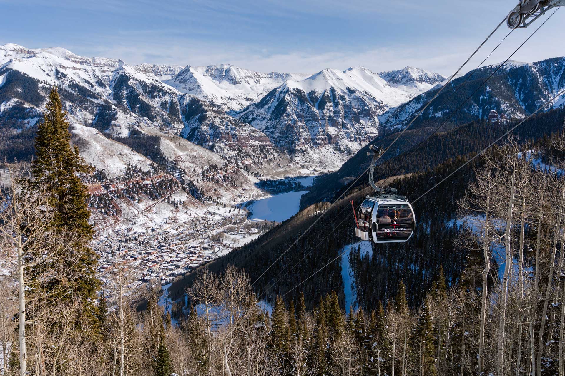
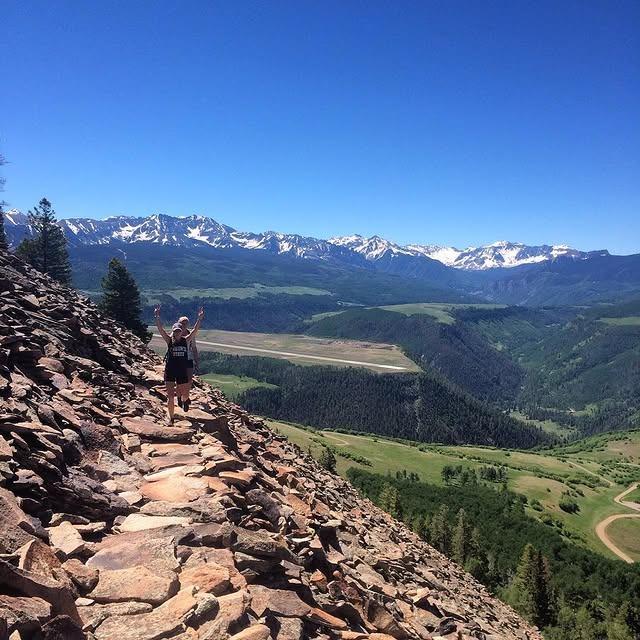
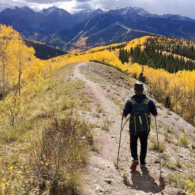
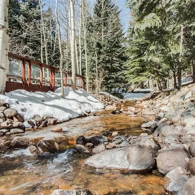
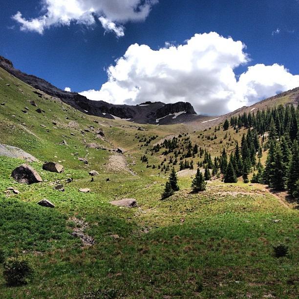
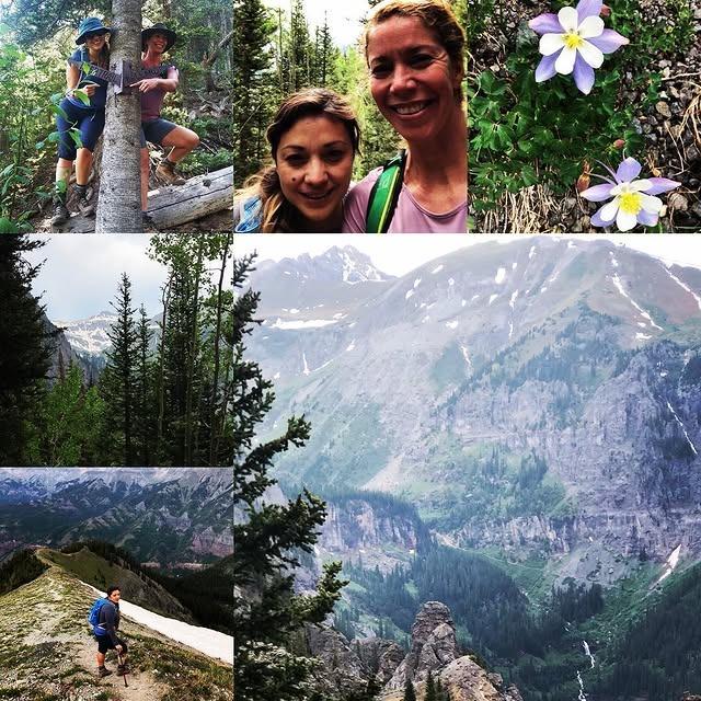
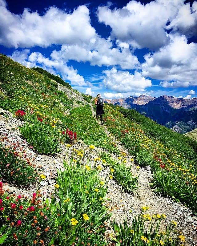
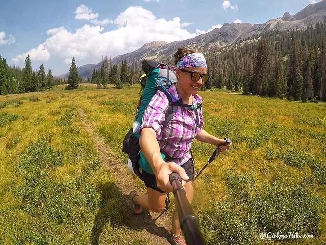
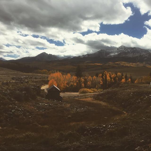
A Guide to Telluride Hiking: Trails, Maps & Trip Planner
Telluride is a lovely place to visit, and the trails are fabulous for that nature walk you’ve been dreaming of. So, what are you waiting for, the next season to come? Why wait? Come visit this fantastic Colorado town. Telluride hiking will have you seeing and enjoying the fabulous nature we often overlook in our busy lifestyles. So let’s take a look at the trails in this guide and get busy planning your Telluride vacation.
North Side Telluride Hiking
Hawn Mountain Loop
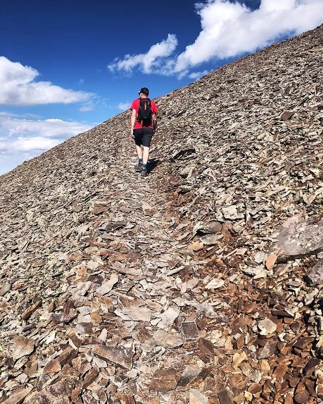
This five-mile mountain loop is about 6.9 miles from downtown Telluride, and within about 20 minutes, you will reach the Hawn Mountain Trailhead. This moderately-skilled trail typically takes the average person about four hours. As you leisurely walk this hiking trail, there will be plenty of time to enjoy nature’s finest rockwork, talus paths, and the handmade rock staircase that was designed by the locals. Due to very little traffic, the pathway is overgrown in some areas and merges into a single track trail.
Whipple Mountain Trail
This 7.2-miles hike is accessible through two different trailheads. The Eastern trailhead hikes downhill by the Deep Creek road with a high elevation gain of 2,900 feet. The Western trailhead has a moderate climb with a 1,000-foot gain in elevation. This hike could take two to five hours to travel, depending on which trailhead you choose. The trailheads are located about nine miles north of Telluride.
Iron Mountain Trail
The Iron Mountain Trail makes it possible to see a lot of local wildlife, forest trees, and rocky pathways. This moderate difficulty trail has an elevation gain of 600 feet and is roughly a 2.7 mile hike. The trail connects with Deep Creek where you will see fabulous viewpoints of the mountain. To reach the Iron Mountain Trail, you must start by going to the west part of Telluride, and depending on your speed it could take about three to five hours to complete.
Deep Creek Trail Loop
This Deep Creek Trail loops around and can start from two different directions. Roughly speaking, the trail takes four to five hours. This moderate-skill trail is 7.5 miles long and is located west of Telluride. The trail has an elevation of 1,672 feet and a maximum elevation of 10,478 feet again. On this trail, you will be able to enjoy a few wildflower meadows and a forest full of spruce trees while you hike along the path or go on horseback.
Eider Creek Trail Loop
The Eider Creek Trail is located about two miles before the Deep Creek Trail intersection and is about 3.5 miles from Telluride. Near the intersection, you will come across some steep climbs with moderate difficulties. Hikers typically have no problem finishing the loop within about three or four hours. The distance is approximately 4.5 miles long, and it takes you to a beautiful waterfall, forest, and wildlife.
Sneffels Highline Trail
This 13-mile loop takes an entire day to get through and is challenging to travel. The elevation gain is 3,520 feet at its highest peak. The trail begins in downtown Telluride, Colorado, and ends at the Aspen forest. During your hike, you will have the opportunity to travel through green meadows filled with wildflowers, across the rocky switchbacks, and the Aspen forest.
Waterline Trail (Mill Creek)
The Waterline Trail takes about one hour to travel 2.5 miles from the trailhead at Cornet Creek Bridge to the Mill Creek Bridge which begins on Aspen street in Telluride, Colorado. This trail is straightforward to travel with an elevation gain of 800 feet and at the maximum 9,650 feet and takes about two to three hours to see the whole trail. It is an easy trail for hikers and bikers alike.
Jud Wiebe Trail
This three-mile loop trails take approximately two hours to finish. The elevation gain is about 1,300 feet, and there is a moderate amount of difficulty and varied terrain when traveling this trail. The wide open meadows and groves of aspen trees are beautiful to see, and you also get a breathtaking view of Telluride from this trail which starts right in town.
Cornet Creek Falls
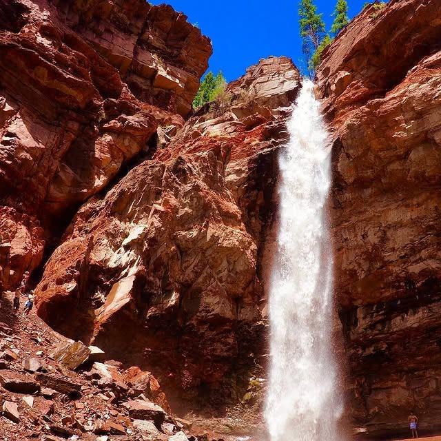
The Cornet Creek Falls is a short-size trail that gives you an 80-foot drop stunning waterfall to see and a great view of the fantastic Telluride Ski Resort. To begin, this trail goes to the top side of Aspen street in Telluride. The total round trip is .25 mile long and usually takes less than an hour to complete.
Liberty Bell Loop
The Liberty Bell Loop is not an easy trail to travel, but it can be completed within seven to eight hours round-trip. The elevation gain is around 3,000 feet with a maximum elevation of 11,900 feet. This 2.3 mile loop starts at Oak Street Telluride, Colorado, which is located at the west side of Uncompahgre River and parallel to the main street in Telluride, Colorado. As you continue to follow the trail you will come to the Liberty Bell Mine followed by the Tomboy ghost town and back to Telluride. There are some options and variations of this hike depending on how long you have. You can do a portion of this hike in as little as 2-3 hours.
Stillwell Tunnel
The Stillwell Tunnel trailhead begins on Tomboy Road and Oak Street in Telluride, Colorado. After you travel about an hour, you will arrive at the tunnel, and it’s a little less than two miles long. The maximum elevation for this trail is 10,400 feet and has an elevation gain of 1,524 feet. This moderate hiking trail doesn’t require a lot of skill to travel to the Stillwell Tunnel.
Owl Gulch Trail
The Owl Gulch is approximately a three-mile round trip from the bottom end of Tomboy Road. It is almost four miles from the center of Telluride. This moderately difficult trail is an unmarked connector trail between Tomboy Road and Jud Weibe Trail. For someone to travel this distance, it would take them about two hours. This fairly new trail is available only during the spring, summer, and fall seasons.
Sheridan Crosscut Trail
Sheridan Crosscut Trail is about 2.5 miles from Tomboy Road and Oak Street to the mine site and 0.2 miles from downtown Telluride. The maximum elevation is 11,500 feet near the mine, 12,000 feet at the saddle, and an elevation gain of 2,274 feet. This challenging hiking trail typically takes 3.5 hours out to the mine site and back. The trail will lead you into some steep climbs and some narrow pathways.
Valley View
The Valley View Trailhead begins off of Tomboy Road Telluride, Colorado, to the Sheridan Crosscut. The trail is not an easy task but manageable with a little hiking knowledge. This seven-mile loop has a maximum elevation that’s nearly 11,300 feet and an elevation gain of 2,500. The natural beauty that surrounds this trail gives you green grass meadows and pine trees all wrapped in one. If you stop to enjoy the scenery and have lunch, it should take about five hours to travel this loop.
Marshall Basin – Liberty Bell Ridge Loop
This strenuous and challenging trail takes you off the beaten path for a great workout. The 24-mile loop travels along the Jud Wiebe Trail and Tomboy Road, to Liberty Basin, Marshall Basin, Tomboy Mine, and back to Telluride. There is very little traffic on this pathway until Tomboy Mine. As you continue climbing up this trail, you will see beautiful views of Greenback Mountain, Mount Emma, and Saint Sophia Ridge.
Tomboy Mine: Royer Gulch to Fort Peabody
The Tomboy Mine takes about 45 minutes to reach the Twin Falls in Royer Gulch; two hours further up the trail, you will enter the Tomboy Mine. As you continue on this moderate to difficult trail, you will reach Imogene Pass and Fort Peabody within an hour. If you travel the whole trail, you will be able to finish less than four hours. It is 1.5 miles to Royer Gulch and five miles to Tomboy Mine. The elevation gain is about 1,600 feet to Royer Gulch and near 4,200 feet to Imogene Pass.
Ingram Basin Hikes, Telluride Hiking
Ajax Peak Trail and Telluride Peak Traverse
The Ajax peak has a high point climb at 12,785 feet and ends in a gratifying 360-degree angled view of the Bridal Veil Basin, Silver Lake, Imogene Pass, Savage Basin, and anything else beyond the horizon. It is a little less than three miles one way and will take you around four to five hours to make it to the top. The elevation is 2,785 feet and is a challenging climb. The rock condition around Telluride has all the character of a sketchy rock and many color combinations. The high elevation is around 13,000 feet.
Ingram Peak Loop
The Ingram Peak loop takes a good amount of time considering the trail takes 5.5 to 7 hours to complete and is 6.25 miles, which might not seem too long in a car but does by foot. The elevation gain is 2,100 feet, and the maximum elevation is 12,552 feet. The trail route is difficult to find the Ingram Basin. The trailhead is 200 yards beyond the gate and above Bridal Veil Falls. This challenging trail is at the east end of Telluride, Colorado, about two miles out.
Ingram Basin to Imogene Pass
The Ingram Basin to Imogene Pass’s time is about four to six hours to traverse. The distance is about eight miles from the road at the Bridal Veil power plant to Imogene pass. The elevation gain is 3,000 feet for the whole traverse with a maximum of 13,114 feet at Imogene pass. The trail is challenging with its steep hills and loose gravel. The trailhead starts at the Bridal veil power plant, which is a few miles from Telluride, Colorado.
Bridal Veil Basin Hikes
Bridal Veil Falls
The Bridal Veil Falls is a place where the tallest known trees in Colorado surround you. Many of these stand at least 365 feet in height. The elevation is a high of 1,650 feet and takes about one hour, one way. To reach the top of the falls, you will need to travel 1.8 miles one way and it is a moderate difficulty climb.
Grays Basin: Mayflower Mine
Gray Basin, which begins at the trailhead is about 200 yards from the gate of Bridal Veil Falls. The distance from the gate is around 1.8 miles to the Mayflower Mine. This moderately difficult trail has a rough and uneven pathway with some loose gravel and steep hills. It has an elevation gain of 1,500 feet and a maximum elevation of 11,956 feet.
Silver Lake
This steep hike is challenging, but you will have the most wonderful time sightseeing along the way. The Alpine Lake is amazing with wildflowers and plenty of fish to catch. It is 1.6 miles one way. The elevation is 1,668 feet and typically takes up to 1.5 hours to complete. Silver Lake is above Bridal Veil Falls and takes about 10 minutes from there to reach Silver Lake.
Jackass Basin
The Jackass Basin trailhead begins at Bridal Veil Creek crossing beyond the power plant; you can find the cutoff from Silver Trail at 11,025 feet. It takes 1.5 hours to reach Jackass Basin and about 1.5 miles to the remains of the cabin. This difficult but prestigious hiking trail brings you to a maximum elevation of 12,180 feet and an elevation gain of 2,000 feet to the saddle.
Mud Lake
The trailhead gate to Mud Lake is by the Bridal Veil power plant, which is about 3.3 miles in the distance. This moderately difficult trail takes about 2.5 hours to reach Mud Lake. There is an elevation gain of 2,140 feet and a maximum elevation of 12,140 feet. This sometimes arduous trail has steep hills and muddy slopes to climb.
Blue Lake
The hike to Blue Lake is a 5.25 miles round trip with abandoned equipment and mining cabins along the pathway. The elevation of the lake is about 2,000 feet and located above the treeline at 12,400 feet. It takes four hours or more to complete a round trip. It is a moderately tricky trail to travel on with the steep hills and loose gravel.
Lewis Mine: Lewis Lake and Columbine Lake
This hike is very challenging and will start you off with an eight-mile hike to Lewis Lake with an elevation gain of 2,038 feet and a view of Lewis Mine. Next, you will hike another 8.8 miles to reach Columbine Lake with an elevation of 2,300 feet. The time span of this trail depends on your speed and ability; the hike may take around five to six hours to complete.
Bear Creek Hikes
Ballard Boardinghouse
The trailhead to Ballard Boardinghouse is 1.1 miles from the Bear Creek Bridge to the first gorgeous open meadow. This challenging trail takes around 3.5 hours one way to reach the Ballard Boardinghouse and six to eight hours if you return through Deertrail Basin or the same way you came. The distance of this trail is a little over seven miles with a maximum elevation of 12,080 feet and elevation gain of 3,200 feet.
Deertrail Basin Trail
The Bear Creek trailhead begins eight miles into the first meadow. It will take about 2.5 miles to the Basin trail. Hike further to make a complete loop with Silver Lake, Ballard Trail, and Jackass Basins and enjoy the meadows and spruce-fir forest. The seven-mile loop will take about five to six hours. The elevation gain is approximately 1,770 feet to the Bulkeley Wells hunting cabin and more than 2,500 feet to the Deertrail Ballard Mountain Ridge. This trail is difficult to travel on with the high peaks of Erie Orr and Cliff Hall.
La Junta Basin Trail
The La Junta Basin Trailhead is 1.7 miles up from Bear Creek Road and is the second meadow beside a large flat dome-shaped rock. The trail is tough with a few loose stones and tricky steps. The trail is nearly four miles to the saddle between Bridal Veil Basin and La Junta. It typically takes around six to eight hours to reach the Bridal Veil power plant. The elevation gain is around 4,100 feet with a maximum elevation of 12,820 feet.
Bear Creek Falls
Bear Creek is one of the most popular trails in the Telluride area; It takes one hour and 15 minutes from trailhead to the Bear Creek Falls at a relaxed pace. The elevation is 1,050 feet, and a roundtrip to and from the Falls is 2.5 miles. The amount of skill to travel on this trail is easy to moderate where you will be able to see the breathtaking set of waterfalls.
Nellie Mine
The Nellie Mine trailhead begins near Bear Creek Bridge at San Miguel River crossing at Pine Street. It will take approximately two hours to walk this nearly three-mile hike. The Nellie Mine Trail has an elevation gain of 2,430 feet and a maximum elevation of 11,190 feet. This moderately difficult trail has steep mountain slopes, waterfalls, and skiing nearby.
Wasatch Trail
The Wasatch Trail has two access points: the Bridal Veil Falls and Bear Creek Trail. This seven-mile hike loops around from one access point to the other as you travel through the La Junta Basin and Wasatch Mountains. It usually takes about six to eight hours to complete and is a challenging hike for most. The elevation gain of this trail hike is around 4,300 or more feet.
East Fork of Wasatch
The East Fork of Wasatch is 4.8 miles from Bear Creek Bridge to the upper junction of East Fork and Wasatch trail. The trailhead begins at Bear Creek Bridge over the San Miguel to Wasatch Trail cutoff on Bear Creek Road. It will take about 2.25 hours from the bridge over to the San Miguel River to the first junction of East Fork and Wasatch, which is just ahead of Nellie Mine. There are long-lasting steep areas on this trail, and they make it difficult in some areas.
Lena Basin
The Lena Basin trailhead begins at St. Sophia Gondola Station; pass lift seven and head right toward lift four, and then take a sharp left to the See Forever Stairs. It takes six to eight hours to complete this twelve-mile hike. The elevation gain is over 2,000 feet with a maximum elevation of around 12,500 feet. The rocky landscape and steep hills make this hike more challenging and difficult to travel.
Ski Area Hikes
Needle Rock

Needle Rock has two different trails, the steep side that involves a lot of climbing and the easy approach side where you would avoid all the steep uphill climbs. Take the gondola from Telluride, stop at Station San Sophia, and begin hiking down the Telluride trail. If you’re looking to get an aerobic exercise, come in from the hard approach at the base of the gondola. It will take you less than an hour to two hours to travel this one-to three-mile trail depending on which direction you choose.
Telluride Trail
Hike this 2.4 miles trail up and stop at the top to enjoy the views. The Telluride Trail takes approximately two hours of hiking and is fairly easy to complete. The elevation gain is about 1,779 feet, and the trail is near the Gondola where there is a good bit of wildlife.
West End and Valley Floor
Galloping Goose Trail
The Galloping Goose Trailhead is just outside downtown, in the neighborhood of Lawson Hill, only a few miles from the middle of Telluride, Colorado. It will take a little more than an hour to make a round trip and is roughly 3.5 miles. This easy, relaxed trail has an elevation gain of 200 feet and a maximum elevation of 8,600 feet.
Keystone Gorge Trail
This 2.5 miles loop is an easy trail to hike on and begins from the Lawson Hill location. It takes approximately one hour to take a stroll alongside the San Miguel River. The Keystone Gorge trail is west of the Galloping Goose trail and a great place to have a picnic.
Lizard Head Wilderness
Cross Mountain Trail Loop: Over Black Face on the Lizard Head Trail
The Cross Mountain Trail Loop Trailhead is off of highway 145 and is about three miles southwest of Lizard Head Peak parking lot. It takes about 3.4 miles to reach the juncture with Lizard Head Trail and nine more miles to get to Lizard Head Trailhead on highway 145. Go approximately 2.2, and then take a right to follow the west of the highway and back to the Cross Mountain Trailhead. The entire loop is around 11.7 miles. This difficult hiking trail takes a full six hours or more to make a full loop around with a picnic along the pathway.
Wilson Meadows
The Wilson Meadows trailhead is at Lizard Head Pass on highway 145 and crossways from Trout Lake begin on Lizard Head Trail and a few miles out town from Telluride, Colorado. This easy six-mile hike takes about three hours to travel to and from the trailhead. The elevation gain is in the range of 1,000 feet, and the maximum elevation is 10,800 feet.
Lizard Head Trail: Black Face to Bilk Creek and Sunshine Mesa
The Lizard is around a 7.6- to an 11.7-mile loop that is near Telluride in southwest Colorado. The Starting point of the trailheads is at the northeast end of the parking area. The distance from the Lizard Head trail to Black Face Peak is about 7.6 miles, and the ending highest elevation is 12,147 feet with an elevation gain of 1,897 feet.
As you look to the north side of the trail, you will see a beautiful sight of the Sunshine Mesa. As you head to Bilk Creek, you will be at an elevation gain of 180 feet, and the highest peak has a high elevation of 12,114 feet, which is only 0.3 miles from the junction. This hike is challenging but can be done within a day.
Morningstar Trail
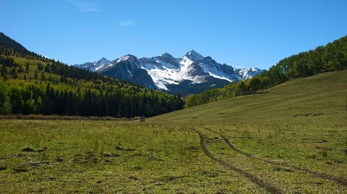
Photo Credit: turcottes78 via Flickr CC2.0
The Morningstar Trailhead starts at the Wilson Mesa trailhead on Sunshine Mesa. This moderately difficult trail should take roughly three hours or so to make this leisurely loop. The Morningstar trail is 2.6 miles, and the loop is about five miles. The elevation gain is around 1,400 feet with a maximum elevation of 11,500 feet.
Woods Lake to Navajo Lake
The Woods Lake Trail is a great place to camp around the spectacular lake. These eight miles round trip hike takes around five hours to complete and has an elevation gain of 2,500 feet. It is a moderate hike that gives you access to the Navajo Lake, and if you begin there the hike isn’t as challenging.
Lone Cone Trail: Woods Lake to Beaver Park
Lone Cone Trail is 25 miles from Norwood. The trailhead of Wood Lake Campground is near Telluride, Colorado. It is 10.5 miles from Woods Lake to the road in Beaver Park. You should plan to have five to seven hours to make it through this moderately difficult hiking trail. It has an elevation gain around 2,000 feet with a maximum elevation of 11,200 feet.
Rock of Ages Trail
The Rock of Ages trailhead starts on Silver Pick Road near Big Bear Creek Road. From Telluride, it is about six miles west on highway 145. This moderately difficult trail is 4.5 miles one way and typically takes about three hours to reach the ridge dividing Navajo Basin and Silver Pick. The elevation gain for this trail is about 3,000 feet with a maximum elevation of 13,025 feet.
Elk Creek Basin
The Elk Creek Basin trailhead is six miles west of Telluride on highway 145. For this trail, plan on three or more hours to complete the 3.6 miles hike, one way. The elevation gain is around 600 feet, and the maximum elevation is 11,500 feet. This moderately difficult trail has an old mining road that gives you a workout as you climb right up into the wilderness.
Wilson Mesa Trail: Woods Lake to Sunshine Mesa
The Wilson Mesa trailhead begins at Woods Lake and travels to Sunshine Mesa. This moderately difficult trail is about 12.5 miles, which makes it quite a long trail to hike.. The elevation gain is 600 feet with a maximum elevation of approximately 10,000 feet.
Navajo Lake Trail
The Navajo Lake Trail is located off of route 535 “Dunton Road” and takes about six hours to traverse a round trip. It is a very challenging course surrounded by three 14,000 foot peaks and 13,000-foot ridges. During these 8.8 miles round trip, you will find that many campers come to this popular spot.
Groundhog Stock Drive Trail
The Groundhog Stock Drive Trail is 4.25 miles one way, and it usually takes about 2.5 hours to hike through this mountain trail. The moderate to easy difficulty trail is located right off of highway 145 in Telluride, Colorado. The elevation gain is 200 feet, and it has a maximum elevation of 10,600 feet.
Hope Lake
The trailhead to Lake Hope is approximately 4.5-mile round trip, and the elevation gain is 1,130 feet with the ending elevation being 11,880 feet. The hike takes you through a spruce-fir forest and travels near Lake Fork Valley. When you reach the rock slides and wildflowers off to the northwest, you will see the perfect view of Lizardhead Peak. The views from the east, south, and west are just as amazing. The trail is a moderately steep climb, and before you realize it, Lake Hope is right before your eyes.
Black Bear Pass
About 8.5 miles each way, Black Bear Pass is a popular out-and-back trail that crests at an elevation of 12,840 feet, then dips into infamous switchbacks that make it a popular trail for off-roading. You will pass by Bridal Veil Falls along the way!
Ophir Pass Trail
Ophir Pass Trail is a moderately difficult trail with an elevation gain of 1,797 feet, a summit of 12,789 feet, and stunning views unlike anywhere else in the area. If you are four-wheeling, the access point is 1/4 mile east of Ophir, and ATV access on the county road between HWY 145 and Ophir, and through Ophir itself, is prohibited.
Explore Telluride Hiking Trails
There are many remarkable places to hike while you are visiting Colorado. If you’re ever in the area to enjoy these fabulous Telluride hiking places, you will see this part of the world in a new light. What are you waiting for? Come explore these trails.


